Contents
Index
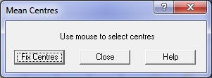
Mean Centres
This is a tool for “cleaning up” curve data which may have been derived from a GIS or “digitized” data.
Typically in a GIS, each curve is held as a series of short chords and these have to be turned back into
a single arc in order to correctly model the cadastral boundaries.
This process Can result in each curve segment of an arc having different radii and centre point due to
round off errors in the GIS data. The routine will scan through the curve data and group curves segments
which have similar curve characteristics.
With each curve, it will compute a single radius length and centre point and then apply this for all
the segments in the curve.